Cleveland has been changing fast in the way it builds and upgrades its city systems. Roads get redone. Water lines get replaced. Old utility routes get checked again because records do not always match what is underground. Because of this, surveying companies are showing up much earlier in projects than before.
This shift is not small. It changes how planning starts and how work moves forward on the ground.
In many cases, surveying companies in Cleveland are now part of the first steps in city infrastructure work. They are not just called in at the end. They are involved while decisions are still being made. That change explains why their role in utility mapping projects keeps growing.
Why city projects now depend more on surveying companies
City projects used to rely heavily on old drawings and basic records. That worked when systems were simpler. But Cleveland has older infrastructure mixed with new development, and that creates gaps in information.
Now, engineers and city teams need real-world data before they build anything. They cannot guess where pipes, wires, or drainage lines are located. So they bring in surveying companies to confirm what is actually there.
This helps reduce mistakes early. It also keeps construction from stopping halfway through a job because something underground was missed.
As projects grow more complex, surveying companies have become part of planning instead of just measurement work.
What utility mapping really means
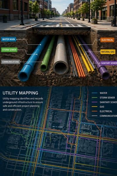
Utility mapping is about finding and recording what is under and around the ground before digging or building starts.
It includes things like water lines, sewer pipes, gas lines, and electrical paths. These systems often overlap or run close together. In older cities like Cleveland, many of these lines were installed decades ago. Some were updated. Some were not well documented.
Because of that, records alone are not enough. They can be wrong or incomplete.
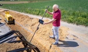
Surveying companies help by checking the site directly. They compare what is on paper with what is in the field. Then they help create a clearer picture for engineers and contractors.
This step prevents surprises during construction.
What surveying companies actually do in these projects
In city infrastructure work, surveying companies do more than measure land boundaries. They help connect design plans with real conditions.
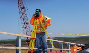
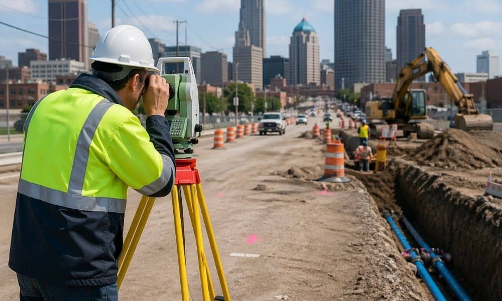
They may walk the site and mark key points before construction starts. They may help confirm where utility paths likely run based on visible signs and past records. They also help teams align design plans with the physical layout of the site.
During construction, they may return to check positions again. This helps make sure work stays aligned with the plan.
Because of this, surveying companies become part of the workflow from start to finish, not just the beginning.
Why Cleveland is seeing this change more clearly
Cleveland has a mix of older neighborhoods and active redevelopment zones. Many of the city’s systems were built long ago. Some records were kept in paper form. Others were updated over time but not always in a consistent way.
At the same time, the city continues to improve roads, utilities, and public spaces. That creates a need to combine old information with new development plans.
So when construction begins, teams cannot rely only on existing maps. They need updated field data.
That is where surveying companies come in. They help bridge the gap between old records and current site conditions.
Without that step, delays become more likely.
How this affects developers and project teams
For developers, this shift changes how early planning works. Surveying is no longer something they can leave until the end of design.
When surveying companies are involved early, teams can see problems before they become expensive. For example, a utility line might sit closer to a planned foundation than expected. Or a drainage path might need adjustment before grading begins.
If these issues are found late, the project may need redesign work. That takes time and increases cost.
But when surveying companies are involved early, those problems are handled before construction begins.
This makes project timelines more stable and easier to manage.
Common problems that early surveying helps prevent
Many construction delays come from simple surprises. A pipe is not where it was expected. A cable runs through a planned foundation area. Or old records show one layout, but the ground tells a different story.
These problems often do not appear in design drawings. They only show up when work starts.
Surveying companies help reduce these risks by checking the site conditions in advance. They provide updated field information so engineers and contractors can adjust plans before breaking ground.
This step saves time later because fewer changes are needed during construction.
Why early involvement matters more now
City infrastructure work is becoming more connected. One project often affects another. A road upgrade may impact water lines. A utility change may affect drainage or nearby buildings.
Because of this, small mistakes can create larger delays.
Surveying companies help reduce that risk by giving accurate site data at the start. This helps everyone involved make better decisions before work begins.
When surveying is delayed, the rest of the project often slows down too. When it happens early, the project tends to move more smoothly.
That is why cities and developers now involve surveying companies sooner than before.
The changing role of surveying companies in Cleveland
Surveying companies are no longer only focused on property lines or basic site measurements. Their role has expanded into infrastructure planning and utility coordination.
They now support engineering teams, construction crews, and city planners in the same project. They help keep information accurate as conditions change on the ground.
In Cleveland, this shift is easy to see because so many projects involve older infrastructure that must be checked before new work begins.
As a result, surveying companies are now part of the structure behind how the city updates itself.
Final thoughts
Cleveland’s infrastructure work depends more on accurate ground data than ever before. Old records alone are not enough for modern projects. Because of that, surveying companies are now involved much earlier in planning and construction.
They help confirm what is really on site, reduce mistakes, and support better coordination between teams. Utility mapping plays a big part in this work because it connects underground systems with surface plans.
As more projects move forward in Cleveland, the role of surveying companies will keep growing. They are not just supporting construction anymore. They are helping shape how it starts and how it succeeds.