Local Surveyor Guide to Preventing Property Line Disputes
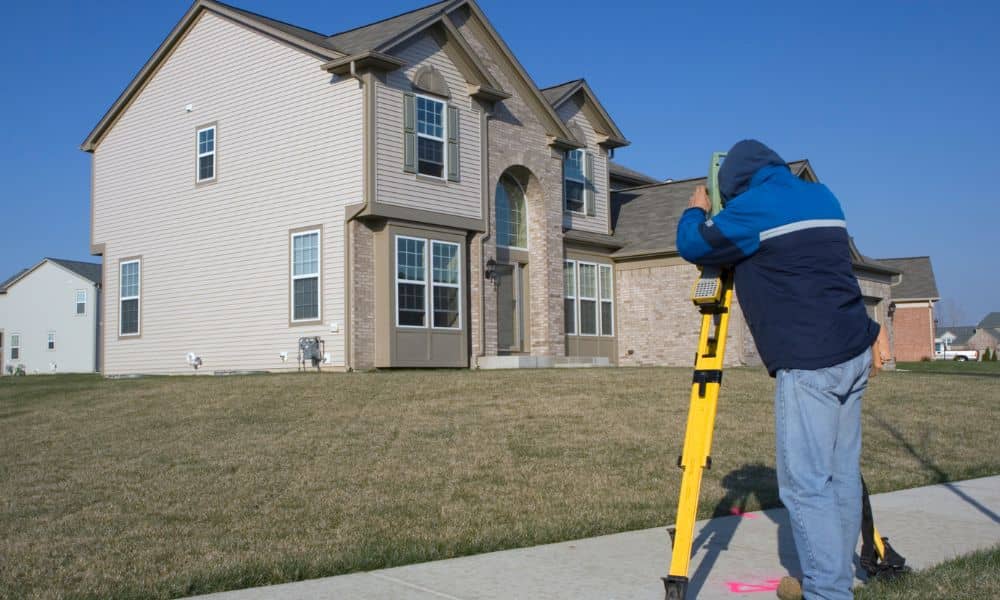
If you spend any time on social media, you’ve probably seen them. A neighbor installs a fence. The other neighbor storms outside. Voices rise. Someone pulls out a tape measure. Then the video cuts to police lights flashing in the background. These viral property line fights might feel entertaining online. However, they turn into expensive […]
Survey Companies Near Me Spike After Property Mistake
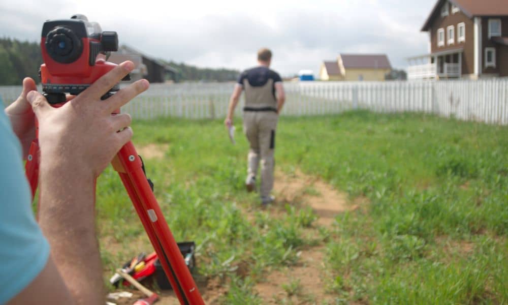
A strange property story in Ohio recently went viral. A homeowner believed he bought a simple piece of land. Later, he learned the purchase included more than he expected — including public roadway areas. Confusion followed. Legal questions followed. Headlines followed. Stories like that spread quickly because they feel shocking. However, they also feel personal. […]
Lidar Survey Lessons from a Hidden Fortress
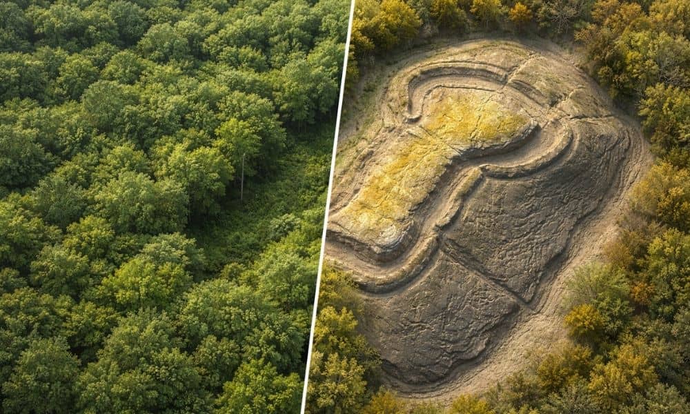
Recently, archaeologists made big news after they found a 5,000-year-old fortress hidden under thick forest. For hundreds of years, trees and brush covered its walls. People walked above it without knowing what was there. However, researchers used special scanning tools to see through the trees and reveal the true shape of the land. That discovery […]