Many property owners in Dayton think they need an elevation survey right away. It feels like the next step. A lender asks for it, or a contractor brings it up, so people move fast.
That rush often leads to wasted money.
In many cases, the information already exists. You just have to know where to look. A few quick checks can save you time, stress, and a second bill later.
So before you call a surveyor, slow down for a minute. Start with these three records.
Why this step matters
People order an elevation survey for good reasons. They might be buying a home. They might be planning a project. Sometimes insurance or permits come into play.
Still, most people skip one simple step. They never check what is already on file.
That mistake shows up all the time. A new owner pays for a survey, then finds out the same work was done years ago. The numbers match, and the new survey adds nothing.
That is frustrating. It is also easy to avoid.
Record #1: Flood map data
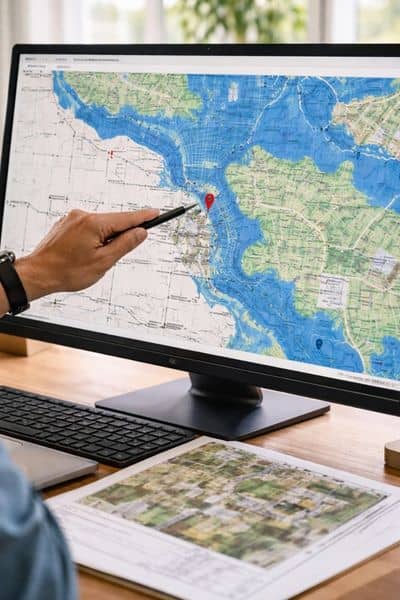
Start with the flood map. This is the fastest check you can do.
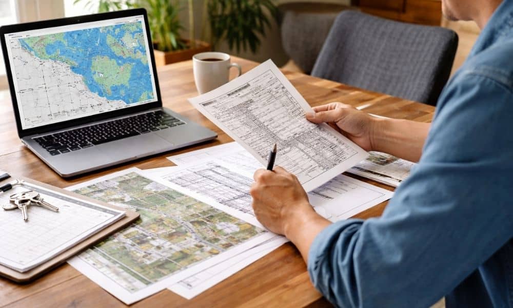
Flood maps show if a property sits in a flood zone. They also show the base flood elevation, which is the height water may reach during a major event.
You can find this online. It only takes a few minutes.
This step helps you understand the situation before spending money. If the property sits well above the flood level, you may not need a new elevation survey right away. On the other hand, if it sits close to that line, you now know why more detail might matter.
This is not the final answer. It is a starting point. Still, it gives you direction.
Record #2: Local city or county files
Next, check local records. This step gets skipped more than any other.
Cities and counties keep files tied to permits and construction. These files often include elevation data, especially for newer homes or properties that went through review.
In Dayton, this means checking with local offices that handle permits or zoning. It might take a phone call or a short visit.
Here is what surprises people. Many homes already have elevation information on file. Builders often submit it during construction. That data stays in the system.
So before you pay for a new elevation survey, check if one already exists. You might find exactly what you need sitting in a file.
Record #3: Your own property documents
Now check your own paperwork.
Look at closing documents, old surveys, or any records from the last sale. Builders or previous owners may have included elevation details.
This happens more often in newer areas. Homes built in the last few years usually have better records. Developers tend to keep detailed files, and some of that information passes to the buyer.
Dig through what you have. It may feel boring, but it can save you money.
You do not need a full report here. Even a reference to past elevation data can point you in the right direction.
When you do need an elevation survey
After checking those three records, the answer becomes clear.
You need a new elevation survey if no reliable data exists. You also need one if the property has changed. Grading work, additions, or drainage changes can affect elevation.
Sometimes the numbers do not match. One record says one thing, another says something else. That confusion needs a fresh measurement.
Lenders and agencies may also require updated data. In that case, a new elevation survey is the right move.
When you reach this point, you are not guessing anymore. You are making a clear decision based on real information.
Mistakes that cost people money
The biggest mistake is rushing.
People hear “elevation survey” and think it must be done right away. That mindset leads to extra costs. It also leads to delays when new information shows up late in the process.
Another mistake is trusting rough data. Flood maps are helpful, but they are not exact. They give a general idea, not a precise number.
Some people also wait too long. They skip checks, then run into a deadline. Now they need a survey fast, and that rush creates pressure.
A better approach is simple. Check first. Decide next. Act last.
How this plays out in Dayton
Dayton has a mix of older homes and newer builds. That mix matters.
Older homes may have limited records. In those cases, a new elevation survey often makes sense. You need clear data, and there is no shortcut.
Newer homes are different. Many already have records from construction. That means you may not need new work right away.
Then there are properties that change over time. Additions, grading, or drainage work can affect elevation. In those cases, older records may not reflect current conditions.
Every property tells a different story. That is why checking records first helps so much.
A smarter way to move forward
An elevation survey is useful. It gives clear, measured data. It helps with decisions and avoids guesswork.
Still, timing matters.
If you start with the right records, you avoid paying twice. You move faster. You also understand your property better.
That small step makes a big difference.
So before you order an elevation survey, take a few minutes and check what already exists. It is one of the easiest ways to protect your time and your budget.