When the river rises in Cincinnati, people focus on the water. They watch roads close, parks flood, and nearby areas fill up fast. Then the water recedes, and everything starts to look normal again. However, the land often tells a different story. After flooding, the ground can shift in ways that are hard to notice. At first glance, your property may look the same. The grass dries. The surface clears. Life moves on. Still, small changes in elevation and surface flow can affect what you do next. In many cases, it makes sense to have a land survey done before moving forward, just to be sure nothing important has changed. That is where a topographic survey becomes important.
Instead of guessing, it gives you a clear picture of what your land looks like now—not what it looked like before the flood.
Flooding Can Quietly Reshape Your Property
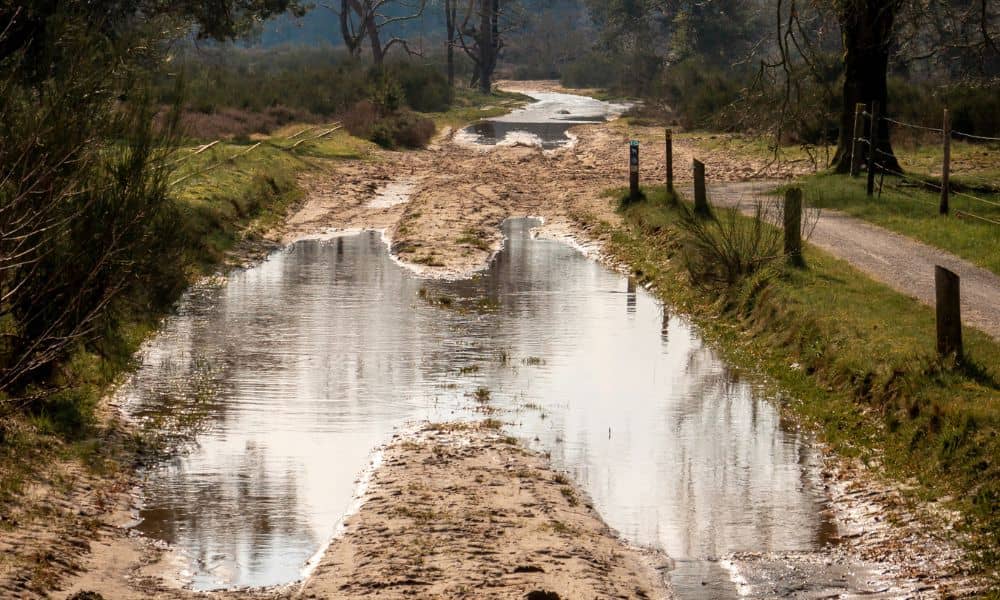
Floodwater does more than cover land. It moves across it with force. As it flows, it can carry soil, leave debris, and change the shape of the surface.
Because of that, your property may not behave the same way it used to.
For example, areas that once drained well may now collect water. A flat section might now slope slightly. In some cases, the edges of a property may wear down or shift just enough to affect future plans.
Even small changes matter. A few inches in elevation can change how water moves, where it settles, and how stable the ground feels.
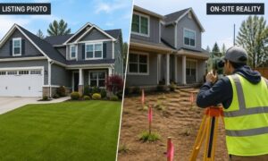
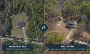
So while the surface may look fine, the details underneath may tell a different story.
Why Pre-Flood Information Can Lead You in the Wrong Direction
Many property owners already have a survey from a past project. That makes sense. Surveys take time and money, so it feels practical to reuse them.
However, after flooding, those records may no longer match the current condition of the land.
A topographic survey captures elevations, contours, and surface features at a specific point in time. Once the ground changes, that snapshot becomes outdated.
As a result, decisions based on old data can create problems.
For instance, you might plan grading work based on past elevations. Then, once work begins, the site does not match the plan. Crews need to stop, adjust, and redo parts of the job.
That leads to delays, extra cost, and frustration.
Because of this, it is important to understand that the issue is not the quality of the old survey. The issue is that the land itself may have changed.
Knowing When It’s Time to Take a Second Look
After flooding, timing matters. You do not always need to act right away. Still, certain situations make it clear that you should take a closer look at your site.
For example, if you are planning to clean up or reshape the land, it helps to know what you are working with first. Moving soil or leveling areas without updated information can make things worse instead of better.
In the same way, if you had a project on hold, it is smart to confirm that your original plans still match the current conditions. Flooding may have changed the starting point, even if the change is not obvious.
Sometimes, the land itself gives you clues. You might notice new low spots, uneven ground, or water moving in ways it did not before. These signs suggest that something has shifted.
Also, before bringing in engineers or contractors, it helps to provide accurate, up-to-date information. Their designs and pricing depend on real site conditions. Without that, changes during construction become more likely.
Even buyers and investors should pay attention here. A property that has gone through flooding may not offer the same usability it once did. Understanding the current condition helps you make better decisions.
What You Gain From an Updated Topographic Survey
After a flood, clarity matters.
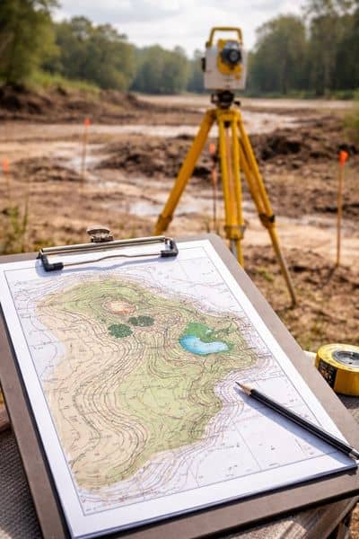
You need to see what your land actually looks like now, not what it looked like before. A topographic survey that shows how the land has changed helps you understand what’s really going on. You can see the current elevations, slopes, and how the surface behaves today.
That makes it easier to spot areas that may need work. You can also see how water is moving across the site now, which helps you plan your next steps with more confidence.
Instead of dealing with problems later, you can catch them early. And that can make a big difference, especially when time and budget are involved.
Why Waiting Can Cost More Than Acting Early
It is easy to wait and hope things settle. Many property owners do just that.
However, waiting often leads to bigger issues.
If you move forward using outdated information, mistakes can happen. You may need to redo work, adjust plans, or deal with delays that could have been avoided.
On the other hand, checking your site early gives you control. It helps you move forward with a clear understanding of what has changed and what has not.
A topographic survey at the right time can guide every decision that follows.
Moving Forward With Confidence After Flooding
Flooding in Cincinnati can change land in quiet but important ways. Even after the water is gone, the effects can remain.
So before you take the next step, it is worth asking a simple question:
Does your property still match the information you are using?
If you are not sure, then it may be time to update your topographic survey.
In the end, having the right information helps you avoid guesswork. It allows you to plan with confidence, reduce risk, and move forward without surprises.