If you’re planning a project, getting a drone survey might seem like an easy first step. You book a team, they fly a drone, and you get the data you need.
However, many people were surprised. At first, it all sounds straightforward, but once the details come up, you start to see how a drone survey is planned for your site can be a bit more involved—especially in a place like Columbus.
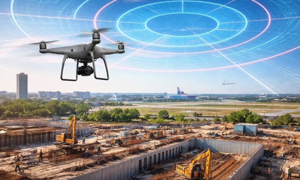
Even when a site looks clear and open, the air above it may not be. Columbus has several active airports, and that changes how drone surveys work. Because of that, what seems like a quick job can take more planning than expected.
This is where many projects slow down—not because of the land, but because of the airspace.
How Airport Airspace Affects Your Drone Survey
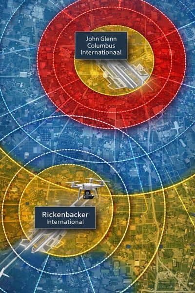
Columbus is home to several airports, including John Glenn Columbus International Airport, Rickenbacker, and the Ohio State University Airport. Because of that, parts of the city have tighter flight rules in the air.
So even if your property looks like a perfect place to fly, the drone still has to follow those rules.
Sometimes that means getting approval first. Other times, there are limits on how high or when the drone can fly. When you start putting those pieces together, you get a better sense of what can affect a drone survey schedule, especially in areas close to active airspace.
For property owners and developers, this can feel confusing. Nothing on the ground shows these limits, yet they can still shape how and when your survey gets done.
Why This Often Catches Projects Off Guard
Many people assume a drone survey can happen right away. That idea works in rural areas. But in a city like Columbus, things are different.
Projects near roads, commercial areas, or growing neighborhoods often sit within controlled airspace. So even if the site is not next to an airport, it may still fall under flight rules.
Because of that, delays often come from timing, not from the survey itself.
For example, a team may need extra time to confirm flight conditions. Or the planned date may need to shift to meet airspace limits. When this happens late in the process, it can push everything back.
What Happens Before the Drone Ever Leaves the Ground
A good drone survey does not start with flying. It starts with planning.
First, the team reviews the site location. Then they check the airspace around it. After that, they decide how the drone can fly while staying within the rules.
This step may involve adjusting flight paths or choosing the best time for the survey. In some cases, it also means waiting for approval before moving forward.
Because of this, the real work happens before the drone is even in the air.
That’s why two projects that look the same on the ground can have very different timelines.
Why Experience Matters More in Columbus
Not all drone survey providers approach a project the same way.
Some focus only on flying the drone. Others take time to understand the site, the airspace, and the project schedule. That difference becomes clear when problems come up.
Without proper planning, a survey may get delayed or need to be rescheduled. That can lead to gaps in data or extra costs.
On the other hand, an experienced team looks ahead. They identify possible issues early and plan around them. As a result, the survey moves forward with fewer surprises.
In a city like Columbus, that kind of planning makes a big difference.
How Airspace Planning Affects Your Timeline
When a drone survey runs smoothly, it supports the entire project. It helps designers, engineers, and builders move forward with confidence.
However, when airspace is not considered early, small delays can grow.
A change in the survey schedule can affect design work. That can push back permit steps. Then construction timelines shift as well.
Because of this, the timing of a drone survey matters more than many people expect.
Planning early gives the survey team room to handle airspace checks. It also keeps your project from running into last-minute issues.
When to Think About a Drone Survey
The best time to plan a drone survey is not right before construction. Instead, it should happen early—during site planning or due diligence.
At that stage, there is still time to adjust if needed. The survey team can review the airspace, plan the flight, and set the right schedule.
On the other hand, waiting until the last minute limits your options. If airspace becomes a factor, there may not be enough time to work around it.
That’s when delays happen.
The Bottom Line for Columbus Projects
A drone survey is still one of the fastest and most useful ways to understand a property. It gives clear data, supports design, and helps move projects forward.
However, in Columbus, airspace plays a bigger role than most people expect.
It doesn’t stop a project, but it does require planning.
When you understand that early, everything becomes easier. The survey team can prepare. The schedule stays on track. And the project moves forward without avoidable setbacks.
In the end, it’s simple. The more you plan for the airspace, the smoother your drone survey—and your entire project—will be.