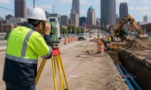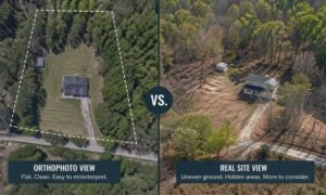
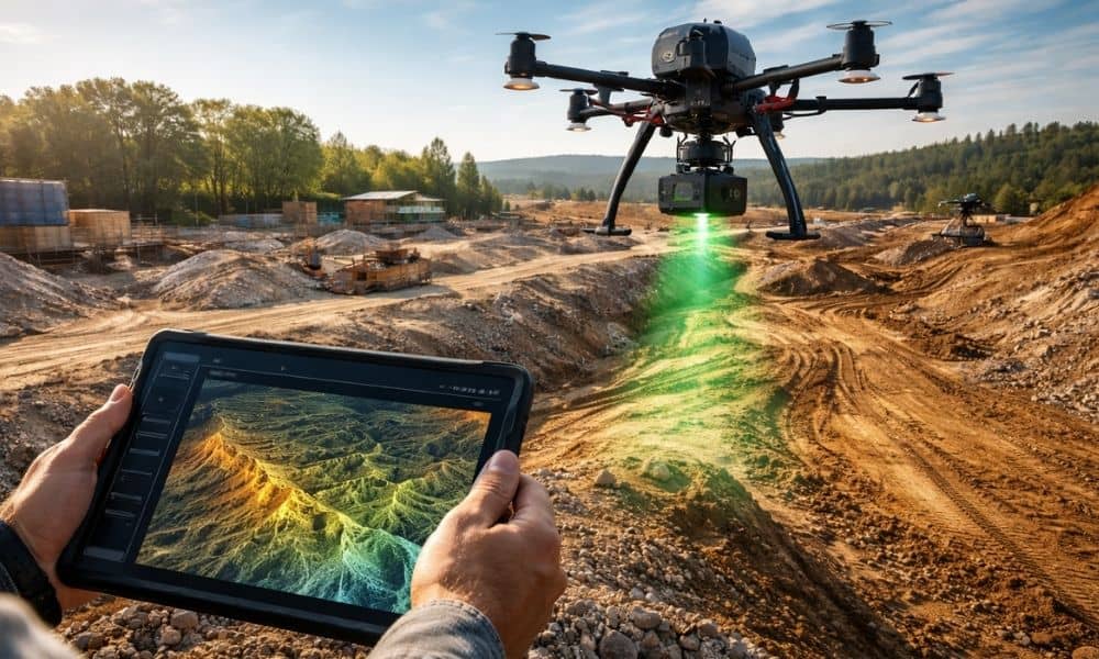
LiDAR technology doesn’t stand still for long. Over the past few years, it has moved from a niche mapping tool into a core part of how modern projects get planned. Today, new systems scan faster, process data quicker, and support decisions much earlier in a project’s life. That shift matters more than most people realize. It changes when teams collect site data, how they use it, and what they expect from it. For developers, engineers, and property owners, these changes directly affect how lidar mapping toledo projects move from idea to design.
So instead of talking about what LiDAR is, let’s talk about what’s changing right now — and why it matters to real projects.
LiDAR Now Supports Early Planning, Not Just Final Design
Not long ago, most teams ordered LiDAR after a project already had momentum. First came the concept. Then came rough layouts. Only after that did detailed surface mapping enter the picture.
Now, however, many teams flip that order.
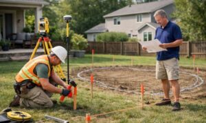
They scan first and design second. As a result, early terrain data guides the first layout ideas instead of correcting them later. That approach helps planners spot slope limits, drainage paths, and grading risk before drawings get too far.
This trend continues to grow because early data prevents expensive redesigns. When teams see the land clearly at the start, they make stronger first decisions. For redevelopment and mixed-condition sites around Toledo, that early visibility makes a real difference.
Infrastructure Innovation Is Pushing LiDAR Forward
At the same time, LiDAR adoption in transportation and infrastructure keeps expanding. Road agencies and tech firms now use LiDAR to scan corridors, monitor pavement, and review surface changes over time. Some systems even collect scan data from moving vehicles instead of aircraft.
Because of that push, LiDAR hardware and software improve quickly. Sensors grow lighter. Capture speeds increase. Processing tools get smarter. Even though those advances often start in transportation programs, they spill over into private mapping services too.
That ripple effect benefits commercial and development clients. Modern lidar mapping toledo providers now work with better tools than they did even a short time ago. Consequently, project teams receive denser and more usable terrain models without longer wait times.
Faster Processing Changes How Teams Schedule Work
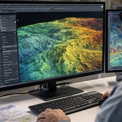
Better sensors help, but software brings just as much change. Processing once took large chunks of manual effort. Teams had to sort ground points, remove noise, and clean surfaces step by step.
Now, intelligent processing tools handle much of that first pass automatically. Technicians still review and refine results, yet the heavy lift happens faster. Therefore, the gap between data capture and usable models keeps shrinking.
This speed shift changes scheduling. Engineers no longer treat surface data as a late delivery. Instead, they plan around getting it early. They test grading ideas sooner. They run layout options earlier. They also coordinate faster with design partners.
In practice, that means projects gain momentum earlier instead of waiting on base data.
One Flight Now Delivers More Than One Dataset
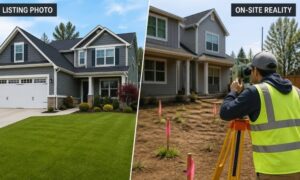
Another big change involves how data gets collected in the air. Many modern survey flights now gather multiple data types at once. A single mission can capture LiDAR elevation data and high-resolution imagery together.
That combined approach tells a fuller story of the site. Elevation shows shape, while imagery shows surface condition and visible features. When teams review both together, they understand the land faster.
This trend reduces repeat flights and extra mobilization. It also helps engineers and planners verify features without another site visit. For active or hard-to-access properties, fewer trips save time and lower disruption.
So instead of treating mapping as separate steps, teams increasingly treat it as one coordinated capture event.
Large and Complex Sites See the Biggest Gains
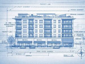
These new trends show their value most clearly on large or complex properties. Wide parcels, corridor projects, and mixed-use redevelopment sites benefit from faster, broader capture methods.
Traditional ground-heavy approaches often slow down on these properties. Crews need more time and more field movement. Meanwhile, modern LiDAR drone systems cover large areas quickly while still producing detailed terrain data.
Because of that, planners compare more options in less time. They adjust concepts faster. They also build early cost models with better confidence.
Around Toledo, where industrial parcels and redevelopment zones appear often, this scalability gives teams a practical edge.
Expectations Keep Rising — and That Helps Clients
As technology improves, expectations rise too. Fortunately, that trend works in favor of project owners. Today, many clients expect faster preliminary results and cleaner terrain models than before.
Providers respond by refining workflows and tightening quality checks. They combine improved capture tools with smarter processing and experienced review. While technology drives speed, professional oversight keeps results dependable.
This balance matters. Fast data only helps if teams can trust it. Strong mapping groups understand that accuracy and usability still come first, even as tools evolve.
Why This Matters for Toledo Projects Right Now
All these trends point in the same direction. LiDAR no longer acts as a late-stage support tool. Instead, it becomes an early-stage decision tool. That shift changes how teams approach planning.
For local developers and engineers, lidar mapping services now support feasibility reviews, early grading ideas, and site screening — not just final design inputs. Consequently, projects move forward with clearer ground truth and fewer hidden surprises.
Timing makes the difference. When teams bring modern LiDAR methods into planning conversations early, they gain flexibility. They test ideas against real terrain sooner. They also reduce the risk of late corrections.
In the end, new LiDAR tech trends don’t just improve maps. They improve decisions. And better early decisions almost always lead to smoother projects.