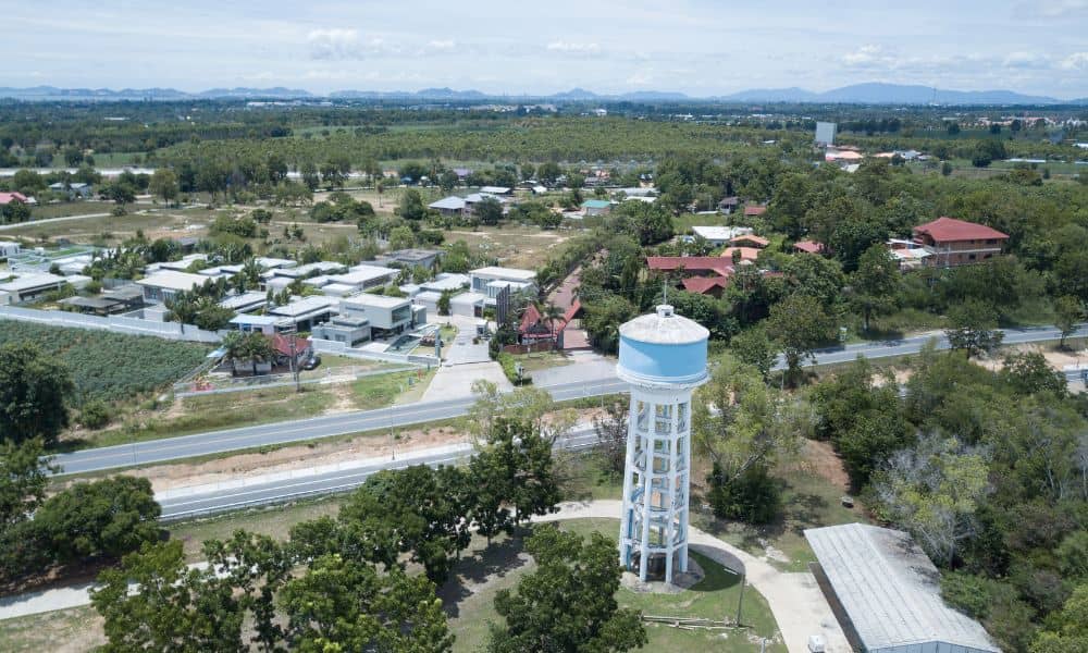
The Mount Airy Water Tower isn’t just a big tank on a hill. For many residents, it’s a piece of history and pride. Recently, Greater Cincinnati Water Works asked locals for feedback on how to restore it. The tower’s concrete is cracking, pipes are aging, and the foundation needs repairs. But before anyone starts fixing it, one important step comes first — a drone land surveying team must capture the full picture of the site.
Seeing the Problem from the Sky
When the city began planning the repairs, engineers faced a tough challenge. The tower sits on steep, uneven ground, surrounded by tall trees and power lines. Setting up scaffolding or climbing the structure just to take measurements would be slow, risky, and expensive. That’s when drones took over the job.
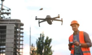
Through drone land surveying, licensed surveyors launched drones fitted with LiDAR sensors and high-resolution cameras. In only a few hours, the team gathered thousands of images and laser data points. These were turned into a 3D model of the entire tower — showing every curve, crack, and surface shift with incredible accuracy.
That digital model gave engineers what they needed most: the facts. They could see where walls had moved, how surfaces had worn down, and what needed reinforcing — all without stepping on scaffolding.
Why Drones Changed Everything
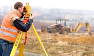
Before drones, surveying a structure this size took days or even weeks. Workers had to use ladders, tripods, and total stations, often in unsafe spots. Now, one drone pilot and a surveyor can finish the same job safely from the ground and in a fraction of the time.
The quality of the data is also much better. Drones can easily reach high or hidden parts of a structure — places people can’t go safely. They combine aerial LiDAR with ground control points for perfect alignment. That accuracy helps engineers decide exactly where to repair or replace sections, saving thousands in materials.
For a public utility like GCWW, that means serious savings. Every dollar saved on measuring and planning can go back into real construction and community work.
Turning Drone Data into Smart Decisions
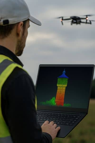
After the flight, surveyors process the drone data into what’s called a point cloud — a 3D digital map that captures every detail of the tower. From there, engineers turn it into a realistic 3D model (often called “scan-to-BIM”) that helps them study the tower’s behavior and structure.
They can simulate how weight moves through the concrete or where water might pool after a storm. This kind of detail prevents surprises later. For example, if the drone model shows one side leaning or settling, engineers can fix the foundation before starting construction instead of discovering the issue halfway through.
A Safer Way to Protect Historic Structures
The Mount Airy Water Tower is nearly a century old. Keeping it safe means understanding its true condition — not relying on old blueprints. Drone surveys give a clear, current picture through high-definition photos and laser scans.
Cincinnati is now using this same approach to monitor other aging structures — bridges, hillside tanks, and retaining walls. By comparing drone surveys year after year, engineers can spot small shifts before they become dangerous or costly.
What Property Owners Can Learn from This
The Mount Airy project shows how useful drone surveys can be — not just for cities but for private property owners too. The same drone land surveying methods help homeowners, contractors, and developers.
- Developers use drones to create 3D maps before they design a project. The maps show slopes, drainage, and boundaries.
- Contractors use drone data to measure volumes and track progress, keeping projects on schedule.
- Homeowners use small drone surveys to check erosion, drainage, or tree growth before building additions.
In all these cases, drones provide accurate visuals that everyone can understand — from engineers to property owners.
How Drone Land Surveying Prevents Cost Overruns
Repair projects often face budget surprises. One wrong measurement can cause design changes or delays. Drones reduce that risk by giving a full, accurate view from the start.
In the Mount Airy rehab, drone data helped estimate the exact amount of materials needed — how much brick area to fix, how much concrete to pour, and where scaffolding should go. With solid numbers, bids stayed realistic, and costs stayed on track.
The same logic applies to private jobs. Whether you’re renovating a warehouse or planning a new subdivision, drone land surveying ensures your plan and budget match the real conditions.
Cincinnati’s Future: Smarter, Data-Driven Infrastructure
The Mount Airy project isn’t just about one tower — it’s a sign of how Cincinnati is using technology to protect its past and plan for the future. The city’s mix of hills, rivers, and aging infrastructure makes it the perfect place for drone-based mapping.
As storms and heavy rains become more common, drones will play an even bigger role in monitoring flood risks, mapping slopes, and inspecting drainage systems. They make it easier for city engineers to make data-based decisions that keep everyone safer.
The Takeaway
Drone land surveying didn’t just help save the Mount Airy Water Tower — it proved how technology can protect history, cut costs, and keep people safe. It showed what’s possible when engineers, surveyors, and local communities work together.
If you manage a property, run a construction site, or plan to repair an old structure, consider ordering a drone land survey first. It’s the fastest, safest way to see what’s really happening on your land — and to plan smarter from the start.
