How Surveying Companies Support Infrastructure Projects
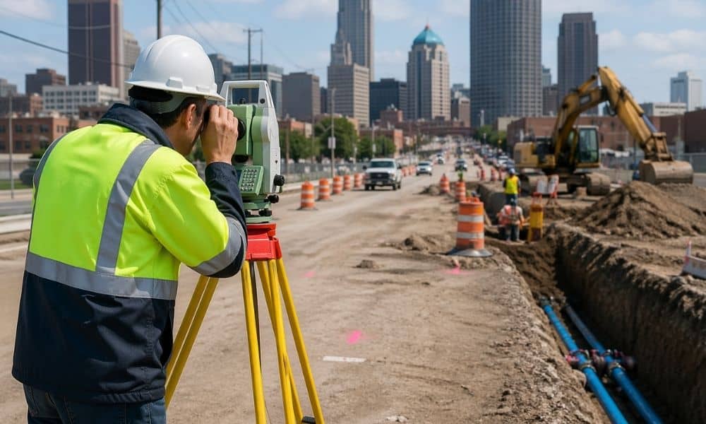
Cleveland has been changing fast in the way it builds and upgrades its city systems. Roads get redone. Water lines get replaced. Old utility routes get checked again because records do not always match what is underground. Because of this, surveying companies are showing up much earlier in projects than before. This shift is not […]
When Should You Update a Topographic Survey After Flooding?
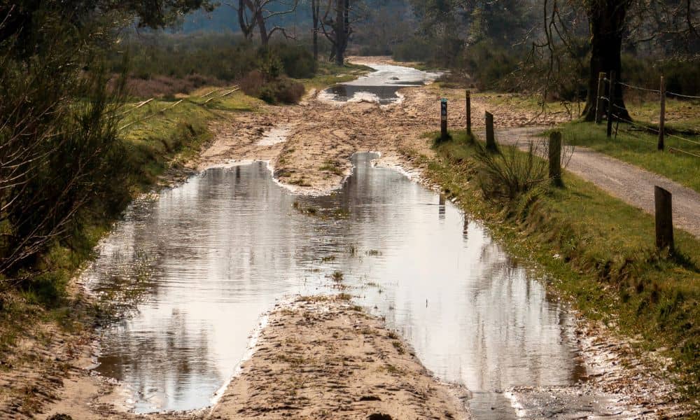
When the river rises in Cincinnati, people focus on the water. They watch roads close, parks flood, and nearby areas fill up fast. Then the water recedes, and everything starts to look normal again. However, the land often tells a different story. After flooding, the ground can shift in ways that are hard to notice. […]
Drone Survey Planning: What Can Delay Your Project

If you’re planning a project, getting a drone survey might seem like an easy first step. You book a team, they fly a drone, and you get the data you need. However, many people were surprised. At first, it all sounds straightforward, but once the details come up, you start to see how a drone […]