Planning a Retaining Wall? A Topographic Survey Can Reveal Problems Early
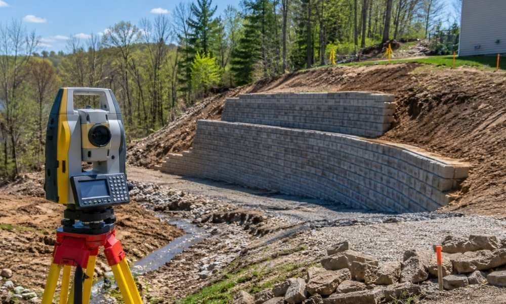
Most retaining wall projects look simple at first. Then construction starts. Suddenly there are surprises. Hidden slopes. Poor drainage. Features no one mapped. These problems cost money and slow everything down. A topographic survey done before design begins finds those problems early. Here is what it shows, and why it matters for developers. Why Hidden […]
Why More Homeowners Are Starting Pool Projects With a Boundary Survey
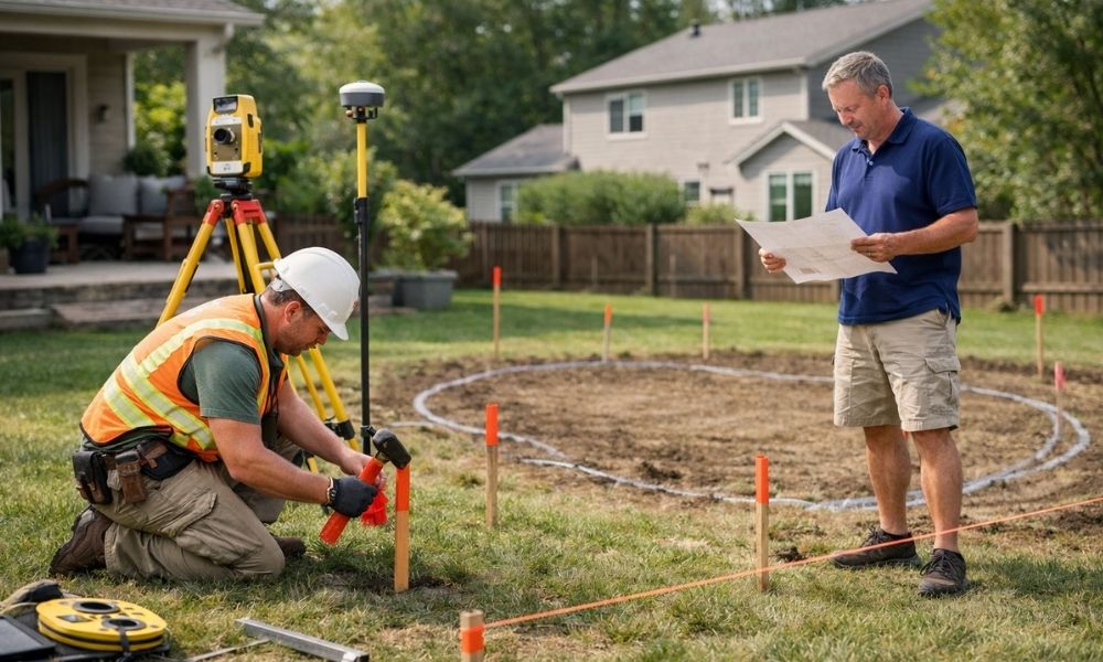
Thinking about putting in a pool? Before the first shovel hits the ground, homeowners are doing one thing first: ordering a boundary survey. It is not just a formality. It is the step that keeps a backyard project from turning into a costly mistake. Backyard Living Spaces Are Expanding Across Columbus and Dayton Backyards look […]
Buying a Mixed-Use Building? An ALTA Survey Can Help You Avoid Costly Surprises
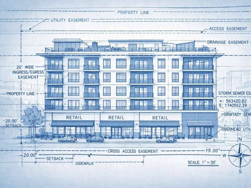
An ALTA survey is one of the most important steps you can take before buying a mixed-use building. It gives you a clear, verified picture of the property’s boundaries, easements, and improvements before you sign anything. Skip it, and you may discover problems after closing that cost far more to fix than the survey itself. […]