
When Should You Update a Topographic Survey After Flooding?
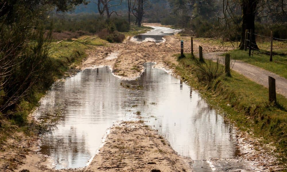
When the river rises in Cincinnati, people focus on the water. They watch roads close, parks flood, and nearby areas fill up fast. Then the water recedes, and everything starts to look normal again. However, the land often tells a different story. After flooding, the ground can shift in ways that are hard to notice. […]
Storm Drainage Problems? A Topographic Survey Explains
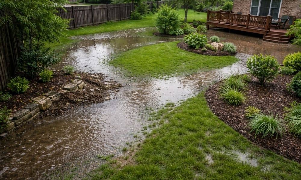
Recent storms moved through Dayton and nearby areas with strong rain and wind. After the skies cleared, many homeowners noticed something strange. Water pooled in parts of their yard. Soil washed away along fences. Some even saw water moving toward their house. At first, these problems may seem new. However, storms often reveal issues that […]
Do You Need a Topographic Survey Before Building?
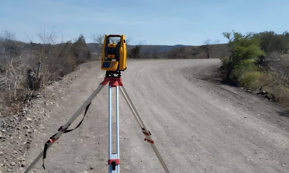
Thinking of Building? Here’s Why a Topographic Survey Should Come First Before any shovel hits the ground, smart builders and homeowners take one essential step: getting a topographic survey. Whether you’re building a new home, a commercial warehouse, or preparing land for development, a topographic survey ensures your plans align with the real-world landscape. Skipping […]