Why Storms Lead to Elevation Certificate Requests
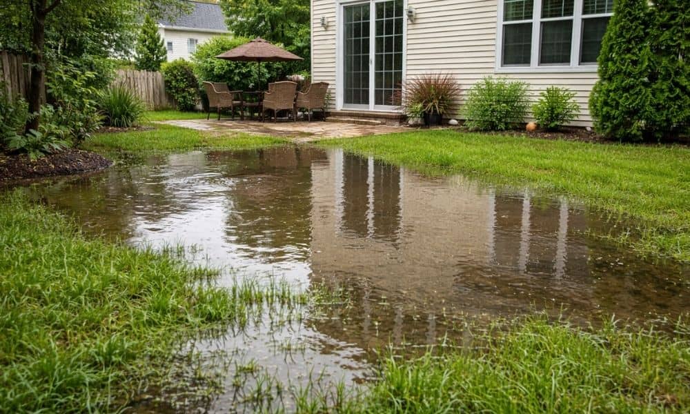
After the recent storms in Ohio, many homeowners in Columbus started to see their property in a new way. At first, it was just heavy rain. However, as the days passed, people noticed water sitting in yards, slow drainage, and damp areas that did not dry up right away. Because of this, new questions came […]
How To Find Your Property On FEMA’s Flood Insurance Rate Maps
What are FEMA flood maps? FEMA’s Flood Insurance Rate Maps (FIRMs) or just Flood Maps are provided after a flood risk assessment has been completed or updated for a community. This study is known as a Flood Insurance Study. The FIRM gives you the Base Flood Elevations (BFEs) and insurance risk zones in addition to […]