Lidar Survey Lessons from a Hidden Fortress
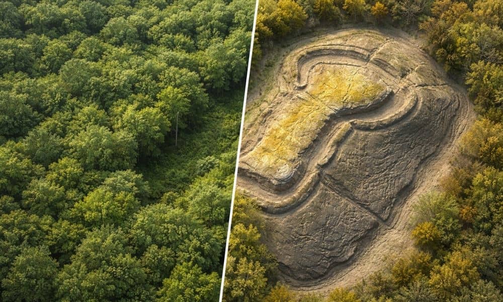
Recently, archaeologists made big news after they found a 5,000-year-old fortress hidden under thick forest. For hundreds of years, trees and brush covered its walls. People walked above it without knowing what was there. However, researchers used special scanning tools to see through the trees and reveal the true shape of the land. That discovery […]
New LiDAR Tech Trends Improving Mapping Projects
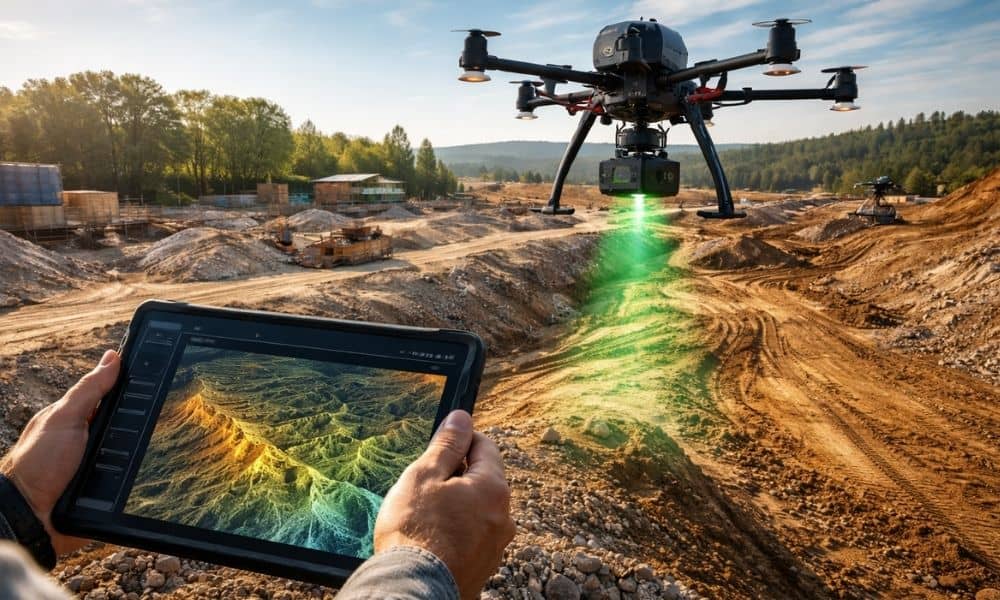
LiDAR technology doesn’t stand still for long. Over the past few years, it has moved from a niche mapping tool into a core part of how modern projects get planned. Today, new systems scan faster, process data quicker, and support decisions much earlier in a project’s life. That shift matters more than most people realize. […]