land surveying
New LiDAR Tech Trends Improving Mapping Projects
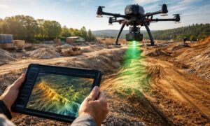
LiDAR technology doesn’t stand still for long. Over the past few years, it has moved from a niche mapping tool into a core part of
LiDAR technology doesn’t stand still for long. Over the past few years, it has moved from a niche mapping tool into a core part of

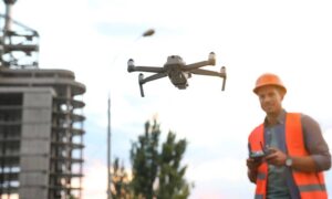
If you live or work in Cleveland, you may have noticed more drones in the news lately. Public safety agencies are starting to use drones
If your project depends on lidar, you probably care about one thing more than the sensor brand: you want clean files, on time, in the