AI Parcel Imaging May Boost Property Survey Requests
Cleveland is rolling out a new AI parcel imaging project, and many homeowners are already wondering what it means for them. The city will mount cameras on public vehicles and use software that scans properties for changes, damage, or possible violations. It’s fast, modern, and efficient. However, this new system may also lead to more […]
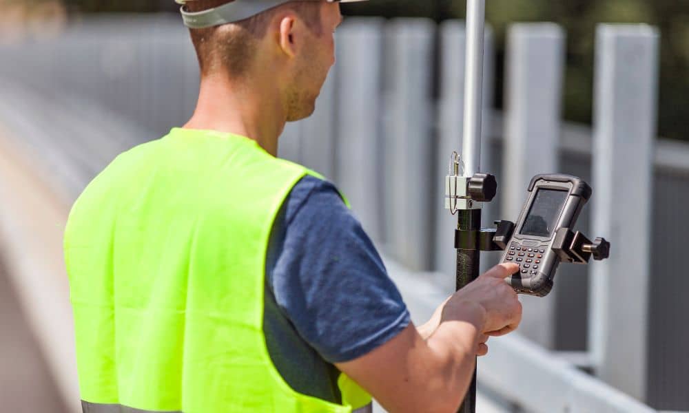
When GNSS Fails: Keeping Land Surveying on Track
In the world of land surveying, precision is everything. Surveyors depend on GNSS (Global Navigation Satellite System) tools to collect accurate data and verify control points. But what happens when those systems suddenly stop working? That’s exactly what many surveyors faced recently when OPUS, a popular online GNSS processing service, went offline during the U.S. […]
Drone Surveying Helps Developers Beat Tax Delays
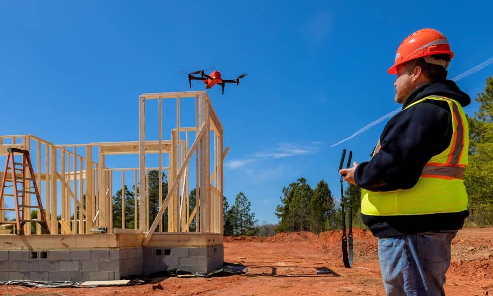
Ohio’s real estate scene is busy again—and not just with new construction. With talk about changing property taxes, developers across the state are moving faster than ever. In cities like Dayton, this has led to a rush of land splits, re-plats, and new site plans. To keep up, many are turning to one powerful tool: […]