LiDAR Checklist: Protect Deliverables When Suppliers Change

If your project depends on lidar, you probably care about one thing more than the sensor brand: you want clean files, on time, in the formats your team can actually use. That’s why recent headlines about a major LiDAR supplier going through bankruptcy and looking to sell its LiDAR business should grab your attention. Even […]
Drone Surveys Reveal Errors in Old Property Lines
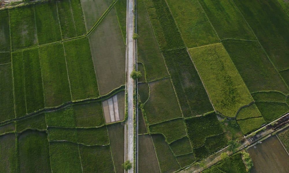
If you own land in rural areas, you might assume your property lines sit exactly where the old maps show them. But many parcels in our state were first measured in the early 1800s, long before modern tools existed. That is why drone surveys play a huge role today. They help surveyors check old records, […]
Why Aerial Survey Tech Is Transforming Land Projects Today

Aerial survey technology is growing fast in 2025, and Cincinnati is one of the cities using it the most. Many people once thought an aerial survey was only for big construction jobs, but that is no longer true. Today, homeowners, builders, and developers use it because the data comes in quickly and shows the land […]