Toledo is taking a big step toward safer water for children. The city recently launched a program that replaces old lead service lines at licensed childcare centers—completely free for the owners. It’s a great move for public health, but for property owners, it also comes with a few hidden challenges. Whenever the city starts digging near your lot, boundaries, and underground rights suddenly matter a lot. That’s where an ALTA Title Survey becomes more than just a technical document—it becomes your protection plan.
A Good Program With Complicated Groundwork
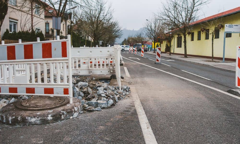
Lead pipes were common in older neighborhoods, especially around daycare and school properties built before the 1980s. The city’s new initiative sends crews to dig, remove, and replace those pipes with safer lines. It’s an important job, but here’s what most people don’t realize: that work doesn’t stop neatly at the edge of public land. Contractors often need to enter driveways, play yards, or parking areas to reach the service connections.
When that happens, questions come up fast. Where exactly is the property line? Who owns the strip between the sidewalk and the fence? What if the city’s trench crosses into private ground? An updated ALTA Title Survey answers all of that clearly. It shows where your land begins and ends, and it records every easement and right-of-way that could affect the dig.
Why Utility Markings Aren’t Enough
Before construction, crews spray bright paint on sidewalks and grass to mark underground utilities. Many owners think that’s the same as a survey—but it isn’t. Utility locates only show where pipes or cables run. They don’t confirm who has legal rights over that space.
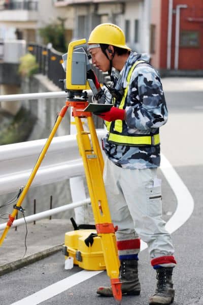
An ALTA Title Survey connects the dots between what’s underground and what’s on record at the county office. It maps easements, encroachments, and access routes with legal precision. That means when the city’s team replaces a lead line, everyone knows exactly which side of the boundary they’re on.
How an ALTA Title Survey Protects Your Property

Think of your daycare lot like a jigsaw puzzle of property rights. Over time, small things—new fences, added parking spaces, utility upgrades—can shift the picture. If crews dig without a current map, they might damage private improvements or cut into the wrong area.
A recent Toledo example proves the point. During a lead-line replacement near South Avenue, workers found an old utility easement running beneath a daycare’s play area. It hadn’t appeared in the center’s old drawings. Luckily, the owner had ordered an ALTA Title Survey a few months earlier while refinancing. The updated map showed the easement clearly, allowing the city to reroute the trench before construction began. A small piece of paper avoided a huge headache.
What Makes Toledo Sites Tricky
Many daycares sit on older parcels—some were homes converted decades ago, others are on lots that share utilities or driveways with neighboring businesses. Over time, property lines shift as parcels are split, merged, or repaved. Add in city easements for water, sewer, or storm drains, and it’s easy for boundaries to blur.
Surveyors use several local tools to sort that out. The Lucas County Auditor’s iCARE portal helps confirm ownership and legal descriptions. The Lucas County Engineer’s Office GIS maps show right-of-way widths and road layouts. Cross-checking those records ensures your survey reflects the ground reality, not just what’s written in an old deed.
That level of accuracy matters when the city’s contractors arrive with backhoes. If a concrete walk, fence, or gate is accidentally built over an easement, the city has a legal right to remove it during repairs. With an ALTA Title Survey, you know what’s yours to protect and what’s open for access.
The Ripple Effect: Daycares and Small Businesses
This program may start with childcare centers, but it’s only the beginning. Toledo plans to expand replacements across more private properties connected to the public water system. That means dental clinics, preschools, and even small offices could soon see similar work.
Each project touches legal boundaries, access points, and underground rights. Without clear documentation, owners can face surprise repair costs or title complications later. Having an updated ALTA Title Survey isn’t just a safety measure—it’s a financial safeguard.
Lenders and title insurers also rely on these surveys. If you ever refinance or sell your property, they’ll need proof that no new encroachments or easements were added during construction. A recent survey gives them confidence that your title remains clean and your property value stays protected.
ALTA Title Survey vs. Regular Boundary Survey
Some owners wonder if a basic boundary survey is enough. For most residential lots, it might be. But for any commercial or mixed-use property—like a daycare—lenders and title companies usually require the ALTA version.
The ALTA Title Survey follows national standards set by the American Land Title Association and the National Society of Professional Surveyors. It includes legal records, zoning details, and visible site improvements, not just boundary lines. That combination makes it the most reliable document for confirming how public work interacts with private land.
A Smart Move Before the Crew Arrives
If you own or manage a daycare, now is the perfect time to review your records. Check when your last survey was done. If it’s older than 2016 or if your property has changed since then, consider updating it.
When you contact a local surveyor, ask them to include relevant Table A items that show visible utilities and access routes. This helps both you and the city’s contractor stay on the same page. A good surveyor can coordinate directly with municipal engineers to verify maps and share data securely.
It’s also wise to keep a printed and digital copy of your ALTA Title Survey handy. If questions arise during construction, you can show exactly where the property line runs and which areas belong to the city’s easement.
A Safer City Starts With Clear Boundaries
Toledo’s goal—clean, lead-free water for children—is one everyone supports. Still, as the city upgrades infrastructure, private owners need to protect their side of the property line.
A clear ALTA Title Survey keeps projects efficient, prevents damage, and builds trust between contractors and property owners. More importantly, it ensures that safety improvements don’t lead to new disputes.
So, before the next city crew shows up with shovels and plans, take one smart step: call a licensed local surveyor. Update your ALTA Title Survey, review your easements, and make sure your property story is complete. That way, when building a healthier future for its children, your daycare property stays protected—above and below ground.


