The $28 billion Intel project in New Albany was supposed to mark a new era for Central Ohio. Lately, though, the news hasn’t been about progress. It’s been about delays. Local leaders have been pressing Intel’s top executives for clear updates on the massive chip plant east of Columbus. The uncertainty sent a ripple through contractors, lenders, and surveyors alike. And for anyone waiting on a construction survey, that ripple feels more like a jolt.
When a megaproject slows down, it doesn’t just affect the people pouring concrete. It shifts timelines for land surveys, utility easements, and site staking all around the region. If you’re a developer, property owner, or lender, understanding how these delays affect your project could save you time, money, and a lot of stress.
Why Intel’s delay matters for surveyors
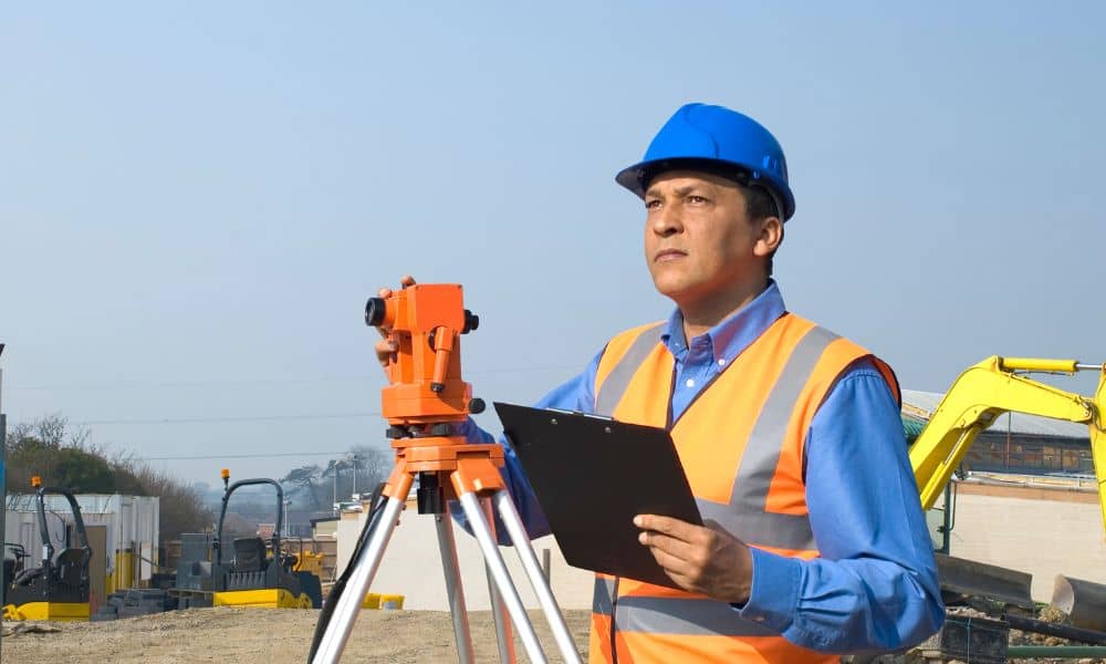
Construction surveys aren’t just a line item on a project checklist. They’re the backbone of every stage of development. From staking corners for excavation to aligning underground utilities, surveyors provide the measurements that keep everything in place.
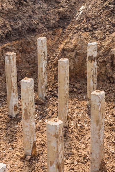
Now imagine staking out a building foundation, only to find out the project has been paused for months. By the time work resumes, the site might need to be restaked, easements checked, or ALTA surveys updated. That’s exactly the situation many surveyors are facing near the New Albany site.
It’s not just Intel’s contractors who feel the pain. When a project this size hits pause, survey schedules across the region get scrambled. Crews are reassigned, backlogs grow, and lead times stretch out. Smaller developers looking for quick turnarounds may discover that “quick” has turned into a four-to-six-week wait.
The domino effect on utilities and easements
Another layer of complexity comes from utilities. AEP has been planning major transmission routes to power the “Silicon Heartland.” Those routes cross parcels in New Albany, Johnstown, and Pataskala. Each parcel requires verification, mapping, and often a re-survey before work can continue.
With Intel’s timeline shifting, utilities can’t lock in their schedules either. That means easement surveys get redone, plats are revised, and developers on nearby land face repeated updates. If you’re working on a commercial site near those routes, you might have already heard from the county about easement adjustments.
Delays don’t just stall construction—they also change the documents you’ll need. A boundary line may still be the same, but the recorded easement across it may not. That creates headaches during loan closings or due diligence reviews.
What developers need to do now
So, what does all this mean if you’re building? First, don’t assume your existing survey will carry you through. Most lenders and title companies want surveys that reflect the current state of the land. If months pass between your initial work and your closing, they’ll likely ask for updates.
Here are a few key steps:
- Check your survey’s date. If it’s older than six months, ask your surveyor whether it needs updating. Construction surveys are time-sensitive, especially when tied to financing.
- Stay in touch with utilities. If your land sits along a proposed line, expect adjustments. Knowing early helps you avoid surprises when crews show up.
- Get on the calendar. Surveyors are busy. Book early, even if you’re not sure when your project will move forward. Rescheduling is easier than scrambling.
These steps may feel small, but they can prevent costly delays later.
The cost of re-staking and why it matters

Developers often budget for a single round of construction staking. But when schedules slip, staking can happen two or three times. Each re-stake adds cost—sometimes 10 to 20 percent more than expected.
Think about it: a survey crew has to revisit the site, recheck control points, and reset markers. If the original work was based on a site plan that has since changed, the entire process starts again. Those expenses add up fast, especially when you’re already managing shifting material costs and contractor schedules.
The smartest developers are planning for this possibility now. By building in a buffer for survey refreshes, they avoid sticker shock later.
A local call to action
What’s happening with Intel highlights a bigger truth: in construction, certainty is rare. For Columbus-area projects, the best defense is preparation. Keep your surveys current, maintain good records, and stay in regular contact with your licensed surveyor.
If you’re a property owner or developer, this is especially critical. Boundaries, easements, and plats in that area are under heavy scrutiny. Even a small oversight—like relying on an outdated survey—could push your timeline back months.
Remember, surveyors aren’t just measuring land. They’re translating the legal and physical reality of your site into a map that everyone else relies on. Engineers, contractors, lenders, and inspectors all depend on those measurements being accurate and current.
Conclusion:
Intel’s delays in New Albany may feel like a distant headline, but for developers, they’re a direct signal to pay attention. A construction survey is more than a box to check; it’s a safeguard against wasted money and wasted time.
While you can’t control when Intel breaks ground, you can control how prepared you are. Get your survey reviewed, plan for updates, and keep communication open with utilities and title companies.
Delays don’t have to derail your project. With the right approach, they can be the push you need to tighten your planning and avoid bigger problems later.


