If you’re involved in real estate or development, you’ve probably heard about the city’s new infrastructure bill. This exciting plan promises to improve roads, bridges, and public utilities across the area. But did you know it also has a big impact on something called ALTA land title surveys? These surveys are vital for developers and lenders who want to make sure their projects go smoothly and stay legally safe.
What Are ALTA Land Title Surveys?
First off, let’s clear up what an ALTA land title survey is. Simply put, it’s a detailed map of a property that shows boundaries, easements (which are rights others have to use parts of your land), and other important legal features. The American Land Title Association (ALTA) sets strict standards for these surveys to make sure they’re accurate and reliable.
For developers and lenders, ALTA surveys are like a safety net. They reveal potential problems before anyone signs a contract or breaks ground. This includes things like fences that cross property lines, buried utility lines, or access roads owned by neighbors. If these details are missed, they can cause costly delays or legal disputes later on.
Why the New Infrastructure Bill Matters
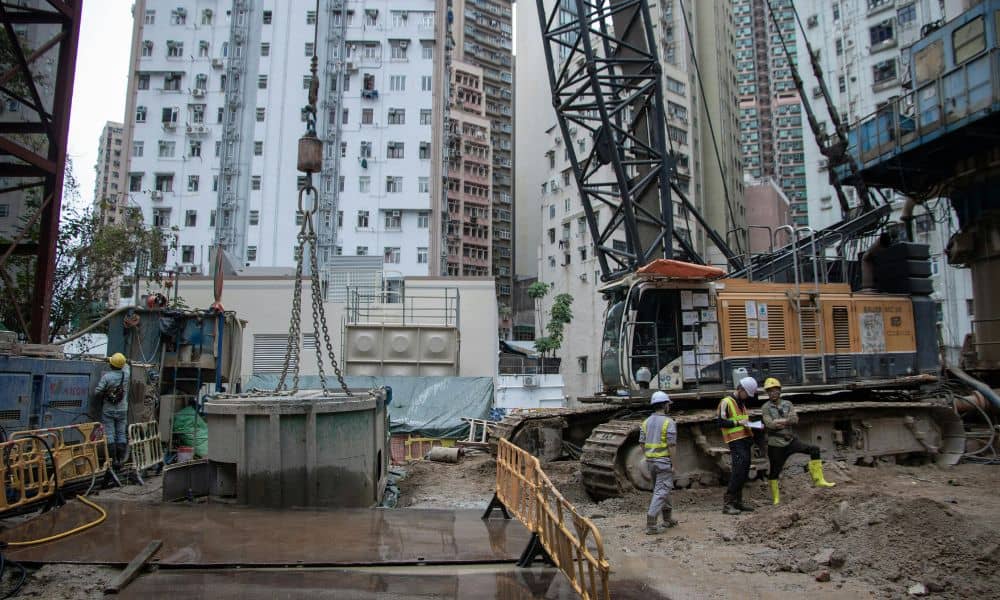
Toledo’s infrastructure bill is a game-changer. It plans to invest millions into updating public works—think of new roads, bridges, and water systems. These projects mean land near or under these improvements will face changes, such as new boundaries, updated easements, or revised zoning rules.
Because of this, developers and lenders now need ALTA land title surveys more than ever. Here’s why:
- More Development Projects: The infrastructure upgrades will lead to more construction projects around the city. Whether it’s a new commercial building or expanding an existing one, having a clear and up-to-date ALTA survey is crucial.
- Complex Boundaries and Easements: Older properties might have confusing or outdated legal boundaries. The infrastructure projects can bring these issues to light, requiring thorough surveys to sort them out.
- Loan and Title Requirements: Banks and title companies demand ALTA surveys to reduce their risk before approving loans or insurance. With all the new changes, these surveys help them feel confident about the property’s legal status.
The Surge in Survey Demand

Because of these infrastructure improvements, land surveyors are expecting a spike in requests for ALTA surveys. This means developers and lenders should plan ahead. Waiting until the last minute could slow down project timelines and increase costs.
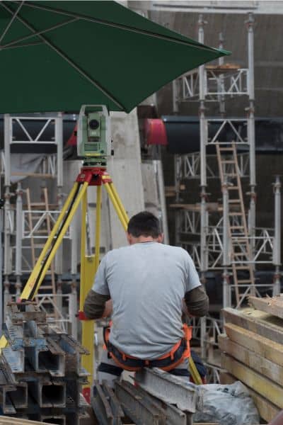
Surveyors are gearing up to handle this higher demand. They’re using advanced tools like drones and 3D scanners to speed up the process and increase accuracy. This technology allows surveyors to quickly map large or tricky sites, capture detailed elevation data, and spot hidden easements—all essential for a solid ALTA survey.
What Developers and Lenders Should Do Now
If you’re a developer or lender working, it’s time to think strategically. Here are some friendly tips to stay ahead of the curve:
- Start Early: Don’t wait until you need a loan or building permit to order your ALTA survey. Early surveys give you time to fix issues before they cause headaches.
- Work With Licensed Surveyors: Make sure your surveyor knows local rules and the new infrastructure projects. They’ll understand zoning laws and easement complexities that matter most.
- Ask About Technology: Modern tools like drones can make surveys faster and more precise. Check if your surveyor uses these, especially for larger properties.
- Coordinate With Your Team: Survey results affect many parts of your project—from design to financing. Share the survey early with your architects, lawyers, and lenders.
- Plan for Elevation Data: Toledo has areas prone to flooding. Your ALTA survey might need to include elevation certificates or flood zone information. This helps lenders and insurers understand the risk better.
Challenges to Watch For
While this infrastructure bill brings opportunity, it can also create challenges:
- Boundary Disputes: When roads or utilities expand, property lines can shift or get questioned. ALTA surveys help prevent surprises by showing exact boundaries.
- Legacy Easements: Some properties have old easements nobody remembers. These can pop up during construction, causing delays. Detailed ALTA surveys catch these before work begins.
- Higher Survey Costs: With more demand and complex jobs, survey prices might rise. Budget accordingly and choose experienced surveyors to get the best value.
The Future of Land Surveying
Toledo’s infrastructure bill is a sign of growth and change. Land surveying is evolving to keep pace, using new technology and expertise to support smarter development. For developers and lenders, ALTA land title surveys will be a key part of every project moving forward.
This shift means more accurate information, fewer surprises, and better decisions. It also means everyone involved—from city planners to property owners—benefits from clear, trustworthy data.
Final Thoughts
If you’re involved in real estate, construction, or financing, don’t overlook the power of an ALTA land title survey. Thanks to the new infrastructure bill, these surveys are becoming more important than ever. They protect your investment, help you avoid legal troubles, and keep your projects on track.
Consider connecting with a licensed land surveyor to explore how you can smoothly navigate these upcoming changes. Getting ahead now can help you avoid surprises and keep your project on track.


