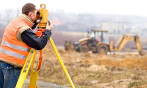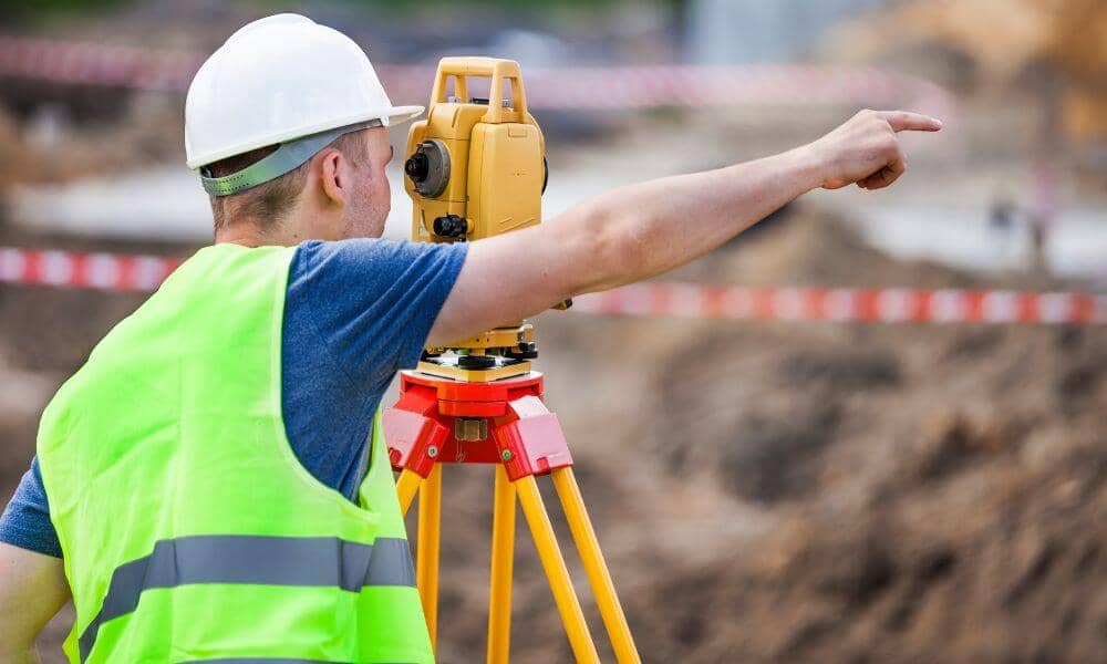
Flooding and stormwater issues in Dayton OH often lead to more than just water damage—they can shift property lines, damage foundations, and create legal problems. A land surveyor plays a critical role in storm channel realignment by mapping existing conditions and helping protect properties near drainage corridors. Whether you’re a landowner, engineer, or city planner, involving a surveyor early ensures accurate data, legal compliance, and a safer long-term solution.
The Drainage Dilemma: Why Urban Waterways Shift Over Time
In cities like Dayton, many storm channels were built decades ago and no longer match today’s flow demands. Aging infrastructure, stronger storms, and climate changes make things worse.
Common problems include:
- Erosion that cuts into backyards or foundations
- Sediment buildup that blocks flow
- Overflow that damages driveways, roads, or green space
Since stormwater affects both public and private property, both city teams and landowners must work together to manage the risk.
Surveying to Identify Misalignment, Encroachment, and Erosion Risk
A land surveyor is one of the first professionals brought into a storm channel improvement project. Their job is to map the actual ground conditions and compare them to original plans and legal boundaries.
Surveyors help identify:
- Where the channel has shifted outside its legal boundaries
- Areas where water has created dangerous slopes or weakened support
- Utilities that may be exposed or at risk during storms
This data gives engineers and property owners a clear starting point for solving the problem.
Coordinating Redesign with Drainage Engineers and City Reviewers
When it’s time to realign a storm channel, the redesign depends heavily on accurate survey data. Engineers use that information to update:
- Flow direction and slope
- Outfall points where water exits the system
- Buffer zones and access easements for maintenance
Surveyors ensure that everything on paper matches what’s on the ground. This keeps the redesign safe and functional and makes it easier for cities to approve.
Protecting Adjacent Property and Structures with Boundary Reverification
When water shifts land, it can pull fences, trees, and retaining walls out of alignment. That’s not just a visual problem — it can lead to legal disputes over property ownership. Land surveyors assist with property boundary verification to clarify exactly where parcel lines lie and ensure any recovery work stays within legal limits.
They help property owners:
- Recheck parcel boundaries after erosion
- Plan safe locations for moving or rebuilding fences
- Confirm whether the storm channel crosses into private property or remains within public limits
This clarity helps landowners avoid legal trouble and plan repairs more effectively.
Mapping for Permits, Environmental Compliance, and Construction Layout
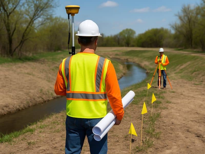
Most drainage projects need approval from city offices, environmental groups, or even federal agencies. Land surveyors provide the legal documents, easement maps, and construction layout surveying services required to support these steps from planning through execution.
This includes:
- Plat exhibits and easement plans
- Cross-sections of the proposed new channel path
- On-site layout points for construction crews
Surveyors make sure the work follows EPA, Army Corps of Engineers, and local rules so nothing gets delayed or denied.
Long-Term Monitoring and Post-Project Documentation
Even after a storm channel is rebuilt, it still needs to be watched. Surveyors create permanent reference points that inspectors can use to track erosion or movement in the future.
They also:
- Deliver “as-aligned” surveys showing the final placement of the channel
- Support grant applications or future maintenance budgets with accurate data
- Help city planners and property owners prevent the same problem from coming back
❓FAQs
1. Do I need a survey if a storm channel is already built near my land?
Yes. Over time, erosion or water movement can cause the channel to shift. A survey helps confirm if it’s still within its legal path.
2. Can a surveyor help if my fence or property line was damaged by water?
Absolutely. We verify where your legal boundary is and help you plan repairs or protection legally.
3. What kind of permits require survey documents?
Most drainage or erosion control permits need plats, cross-sections, and easement maps prepared by a licensed surveyor.
4. Will a land surveyor work with my drainage engineer or city office?
Yes. We regularly coordinate with engineers, inspectors, and local permit reviewers.
5. Can you help monitor erosion after a project is done?
Yes. We place long-term reference points and provide follow-up surveys to track land changes over time.

