LiDAR Mapping: Catch Drainage Problems Before Building
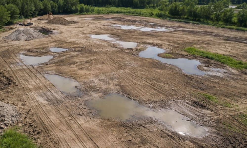
At first glance, a flat site in Toledo can look easy to build on. The ground seems level. The layout feels simple. Everything looks ready to go. However, many property owners and developers find out later that flat land can hide serious problems. That’s when looking at lidar mapping data starts to make sense, because […]