New LiDAR Tech Trends Improving Mapping Projects
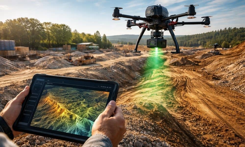
LiDAR technology doesn’t stand still for long. Over the past few years, it has moved from a niche mapping tool into a core part of how modern projects get planned. Today, new systems scan faster, process data quicker, and support decisions much earlier in a project’s life. That shift matters more than most people realize. […]