Drone Surveys Reveal Errors in Old Property Lines
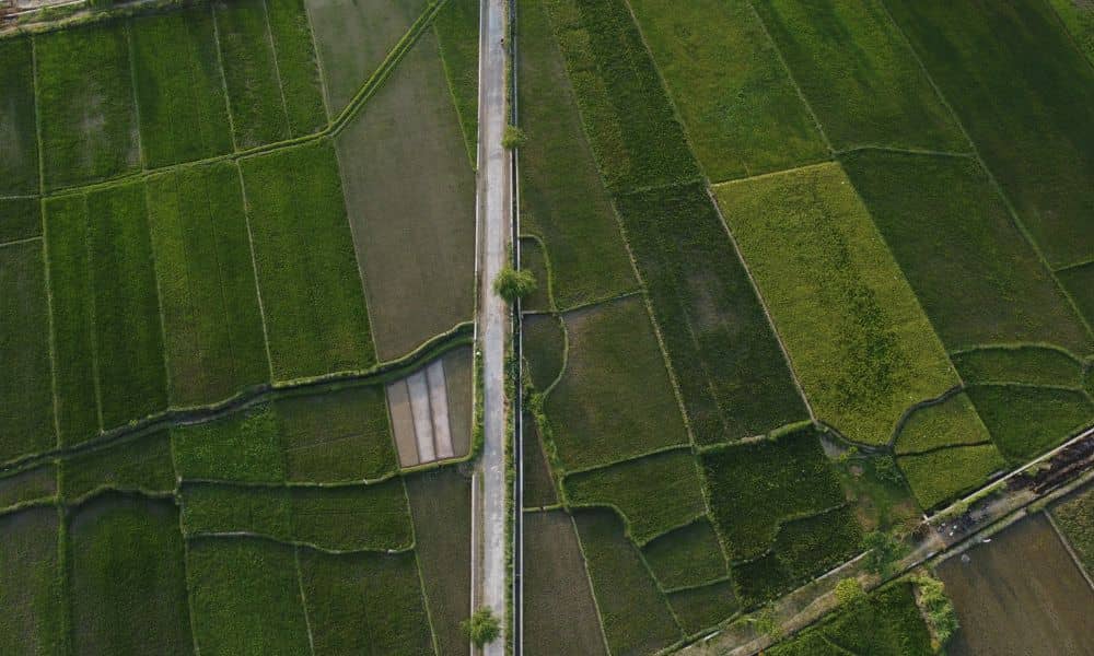
If you own land in rural areas, you might assume your property lines sit exactly where the old maps show them. But many parcels in our state were first measured in the early 1800s, long before modern tools existed. That is why drone surveys play a huge role today. They help surveyors check old records, […]