Last week, people across Northeast Ohio looked up and saw a rare show — bright colors from the Northern Lights glowing above Lake Erie. It was beautiful, but it also came with a side effect most didn’t notice. That same space storm that lit up the sky also caused problems for the satellites that surveyors use for your boundary survey.
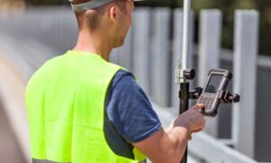
A boundary survey shows exactly where your property begins and ends. Surveyors use high-tech GPS tools to mark corners and draw maps that homeowners, builders, and lenders depend on. When strong solar activity happens, those satellite signals can get fuzzy or bounce around. Even a small mistake — just a few inches — can cause big trouble when your fence, driveway, or house sits close to the edge of your property.
What Happens During a Solar Storm
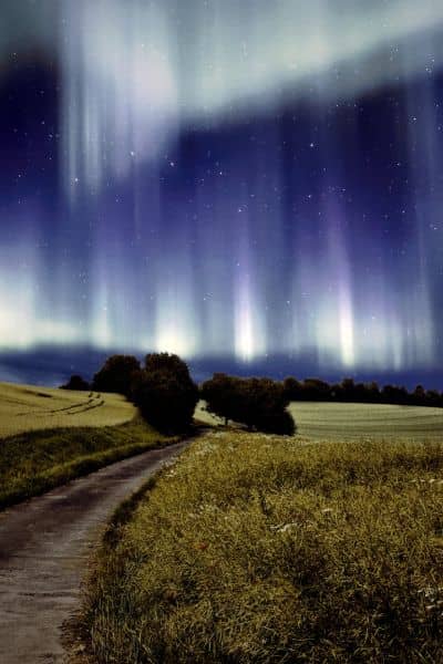
The sun sometimes sends out powerful bursts of energy called solar flares. These flares release charged particles that fly toward Earth. When they reach us, they shake up our planet’s magnetic field and create what scientists call geomagnetic storms.
Those same storms that cause the Northern Lights also mess with GPS. GPS signals travel through a thin layer of air high above Earth called the ionosphere. During a solar storm, that layer gets stirred up, bending or slowing the signals.
Surveyors rely on GPS timing that’s accurate down to fractions of a second. But when the signals twist or scatter, their tools can’t tell exactly where they are. Normally, surveyors fix this with something called RTK — a system that corrects small GPS errors in real time. But when the solar storm is strong, even RTK can’t keep up.
Think of it like talking on a phone when the signal keeps cutting out. You might hear most of the words, but some parts drop. For surveyors, those “dropped signals” mean small errors that can throw off a measurement.
Why It Hits Northeast Ohio Harder
Not every place feels the same effects during a solar storm. Northeast Ohio has a mix of conditions that make GPS work trickier when the sky acts up.
First, there’s Lake Erie. Its wide, open surface gives surveyors a great view of the sky, which normally helps accuracy. But when a solar storm happens, that same openness means stronger exposure to the shaking ionosphere above.
Then there’s downtown Cleveland. All the metal, glass, and concrete cause signals to bounce before reaching GPS receivers — something called “multipath.” On a normal day, surveyors work around it. But when a solar storm adds extra interference, those small bounces can turn into bigger errors.
And finally, there’s Ohio weather. The mix of humidity, sudden rain, and fall temperature changes slightly shifts how signals move through the air. When that happens during a solar storm, GPS readings can drift.
That’s why after last week’s event, some survey crews near Cleveland, Mentor, and Elyria decided to hold off on certain GPS work. Waiting a day or two for calmer skies saves hours of rechecking data later.
How Surveyors Work Around It
Surveyors don’t just hope the weather — or the sun — behaves. They plan ahead. Most use data from the NOAA Space Weather Prediction Center, which tracks solar activity and warns when GPS accuracy might drop.
When a storm alert comes out, local crews take extra steps to keep their work reliable:
- Rescheduling key jobs for times when conditions calm down.
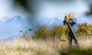
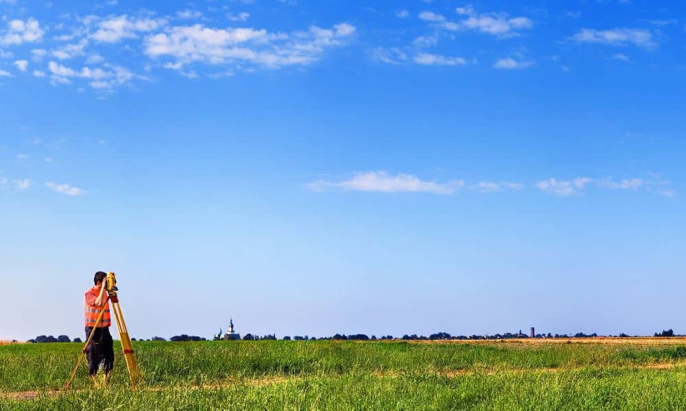
- Using total stations, which measure angles and distances with lasers instead of satellites.
- Taking multiple readings for each point to confirm accuracy.
- Checking control points — known landmarks with set coordinates — to make sure data stays true.
These small steps keep your property lines safe from mistakes. It may take a little longer, but it guarantees the final map is right.
What Homeowners and Builders Should Know
If your surveyor says the project needs more time after a solar storm, that’s not bad news — it’s a sign of care. Boundary surveys are legal documents. Once they’re recorded or used for permits, you can’t easily fix them if an error appears later.
Imagine building a fence or garage, then learning it crosses into your neighbor’s yard. Fixing that mistake could mean tearing it down or going to court. Taking a little more time for accuracy costs far less.
Here’s what you can do to make things smoother:
- Ask early about timing. Surveyors often know when space weather might cause short delays.
- Be patient. A one-day pause keeps your survey legal and precise.
- Hire local pros. Surveyors know how to work around lake weather and city signal issues.
Why It’s a Bigger Deal Than You Think
We usually think of land surveying as a job done entirely on the ground, but it’s connected to the sky too. GPS systems orbit thousands of miles above Earth. When space weather gets rough, it can shake up every signal they send.
That’s why even a simple neighborhood project can depend on what the sun is doing. A storm that lights up the Northern Lights also affects farms, construction sites, and homes. It reminds us that our technology is powerful, but still part of nature’s system.
For Northeast Ohio, where development is growing fast, keeping boundary surveys accurate is more important than ever. Builders, lenders, and homeowners rely on them to avoid mistakes that can delay or derail projects.
Cleveland’s Surveyors Know How to Handle It
Surveying already takes skill. Between lake-effect snow, old plats, narrow lots, and now space weather, professionals here face challenges that most people never see. Yet they continue to deliver accurate results.
Many firms now check NOAA’s space weather forecasts every morning, just like they check the weather app for rain. They plan their fieldwork so they can switch between GPS and optical tools depending on the conditions. It’s one more layer of protection to make sure your survey is right the first time.
That’s why when a surveyor mentions solar interference, it’s not an excuse — it’s expertise. They’re not just measuring the ground; they’re reading the sky to keep your results within legal limits.
Final Thoughts
The Northern Lights that glowed over Ohio last week were a reminder of how closely the Earth and sky connect. Those same magnetic waves that created the colors also changed the way satellites see the ground.
For surveyors, this means slowing down to check, verify, and sometimes wait. For you, it means peace of mind knowing that your property lines are protected by professionals who understand the science behind precision.
So, if your boundary survey takes a little longer this month, it’s not a setback — it’s a safeguard. Accuracy matters, and good surveyors will never risk it for speed. Every project begins with careful land boundary measurements that make sure your lot lines are clear, consistent, and legally sound — even when space weather tries to interfere.

