Drone Surveying Helps Developers Beat Tax Delays
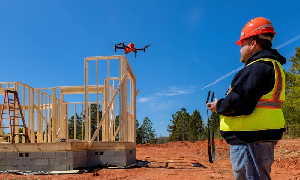
Ohio’s real estate scene is busy again—and not just with new construction. With talk about changing property taxes, developers across the state are moving faster than ever. In cities like Dayton, this has led to a rush of land splits, re-plats, and new site plans. To keep up, many are turning to one powerful tool: […]