Drone Land Surveying Revives Historic Water Tower
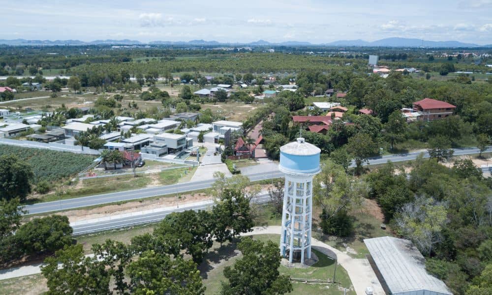
The Mount Airy Water Tower isn’t just a big tank on a hill. For many residents, it’s a piece of history and pride. Recently, Greater Cincinnati Water Works asked locals for feedback on how to restore it. The tower’s concrete is cracking, pipes are aging, and the foundation needs repairs. But before anyone starts fixing […]