Imagine this: you wake up one morning and notice your neighbor building a brand-new fence. It looks great, but something feels off. Is it crossing into your yard? Should you say something? Many homeowners run into this exact situation, and the arguments that follow can get ugly. The truth is, most property line disputes don’t come from bad intentions—they come from uncertainty. That’s where a boundary survey comes in.
A boundary survey gives you clear, legal proof of where your land begins and ends. In a city like Columbus, where neighborhoods mix older homes, new builds, and ongoing development, knowing your exact property lines matters more than ever.
Why Property Line Disputes Happen
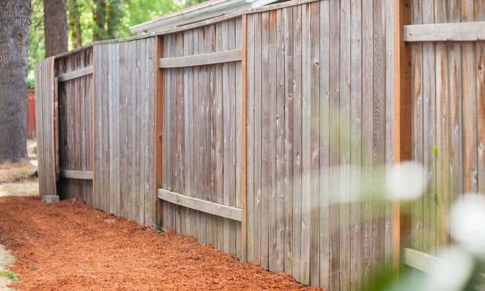
Disputes often start small: a misplaced fence post, a driveway that drifts a few feet, or even a garden bed that crosses the line. Columbus homeowners share plenty of these frustrations online, especially in community forums and Reddit threads.
One homeowner recently posted that their neighbor’s new fence landed “about a foot into my yard”. They argued for weeks, trading screenshots from Google Maps, but nothing resolved the problem. Stories like this are common. People often rely on free online maps or old deed descriptions, only to realize later that those aren’t accurate enough to settle the debate.
In older neighborhoods, property descriptions may date back decades. Over time, landmarks like trees, fences, or stone walls disappear, but the deeds don’t change. Add in modern development pressure—like new subdivisions or backyard additions—and it’s no surprise that neighbors clash. Without clear proof, disagreements drag on, and frustration builds.
What a Boundary Survey Actually Shows

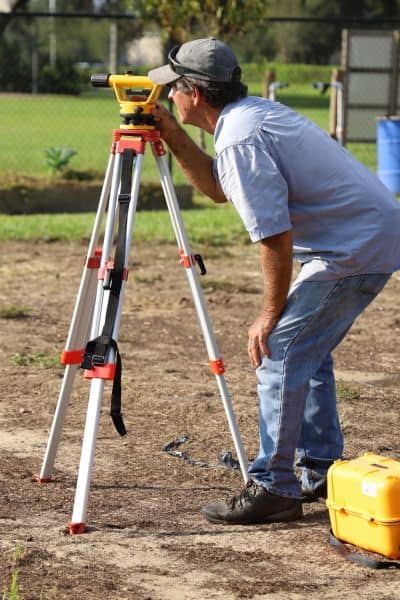
Here’s where a boundary survey clears the air. A licensed land surveyor comes to your property and carefully measures the land using professional equipment. They review your deed, locate property corners, and map out the exact boundary lines.
Unlike online maps or county GIS tools, which are helpful but not legally binding, a boundary survey is official. It results in a certified map you can rely on if a dispute escalates. Surveyors in Columbus often tie their work to control points maintained by Franklin County or state networks, making the results accurate and defensible.
Think of it this way: when your neighbor questions where the line is, you can hand them a professional survey instead of debating over a phone app. That changes the entire conversation.
When to Order a Boundary Survey
A lot of people wait until trouble starts before they call a surveyor. That’s a mistake. In reality, a boundary survey helps in several everyday situations:
- Selling or buying a home: Buyers want certainty before closing, and lenders often ask for surveys to avoid title issues.
- Adding fences, sheds, or driveways: It’s cheaper to survey first than to move a structure later.
- Resolving a dispute: If you and your neighbor can’t agree, a survey provides neutral, professional proof.
- Dividing or developing land: zoning officials often require surveys for lot splits, subdivisions, or construction approvals.
Each of these moments brings stress if you don’t know where your property starts and ends. A boundary survey removes the guesswork and gives you confidence to move forward.
How Surveys End Disputes Quickly
Let’s go back to that fence example. Without a survey, you and your neighbor argue, search old maps, and maybe even call city offices. Weeks pass, and nothing gets solved. With a boundary survey, a licensed professional marks the property lines and delivers a clear plat. Suddenly, the debate stops. The line is right there on paper.
Surveys also prevent costly legal battles. Court cases over property lines can drag on for months and cost far more than a survey ever would. Judges often rely on certified surveys as evidence, so getting one early gives you the best chance of settling property boundaries in a fair and straightforward way—without the stress of going to court.
The Value vs. Cost of a Boundary Survey
Some homeowners hesitate because they’re worried about cost. But think about the alternative: legal fees, contractor changes, or even losing part of your yard. Compared to those expenses, a boundary survey is affordable and provides lasting value.
It’s not just about money, either. It’s about peace of mind. Once you know your lines, you don’t have to stress every time a neighbor puts up a new fence or a developer breaks ground next door. You’ll have proof in hand.
What to Expect When Hiring a Surveyor
If you decide to move forward, the process is simple. A licensed land surveyor will ask for your deed and any existing plats. They’ll visit your property, measure with specialized equipment, and mark corners or lines as needed. The final product is a drawing that shows your boundaries, often with enough detail to submit to the Franklin County Recorder if required.
Beyond the basics, many firms offer full-service land surveying, which means they can support you through more than just one type of project. Whether it’s a boundary survey for a fence, staking for new construction, or mapping for a lot split, having one trusted team makes the process easier and more consistent.
Local knowledge matters too. Surveyors familiar with zoning rules, lot split requirements, and county standards can guide you through the process with fewer delays and clearer results.
Why Acting Early Saves Time and Stress
Waiting until a dispute blows up only makes life harder. By ordering a boundary survey early—before a sale, a build, or a disagreement—you save yourself weeks of stress. You also show your neighbors and city officials that you care about doing things the right way.
Online, you’ll find plenty of frustrated stories from homeowners who skipped this step and ended up paying for it later. Don’t be one of them. In a growing city like Columbus, clear property lines are too important to ignore.
Final Thoughts
Property disputes are stressful, but they don’t have to drag on. A boundary survey is the fastest and most reliable way to settle questions about property lines. Whether you’re buying, building, or just protecting your peace of mind, the small investment now saves you headaches later.
If you’re dealing with unclear lines or planning a project, reach out to a licensed land surveyor today. You’ll have certainty, legal proof, and the confidence to move forward without second-guessing.


